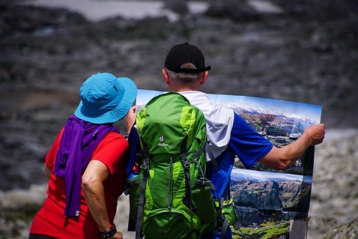
Mount Marcy is a popular hiking destination.
With an elevation gain of 3,166 feet and distance of 7.4 miles to the summit, hiking Mount Marcy is classified as difficult and should be attempted by experienced hikers or at least those with moderate fitness.
If you’re a beginner looking for tips and information about hiking Mount Marcy, read on.
History
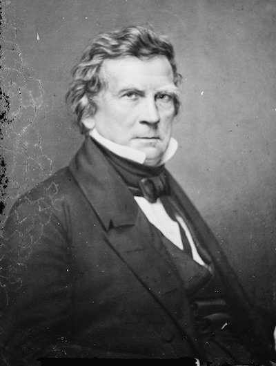
Mount Marcy gets its name from Governor William L. Marcy, a man who was Governor of New York in the 19th century. He initiated a first exploration of the area to understand the region better. The first person to make the ascent up Mount Marcy, according to historical records, was Ebeneezer Emmons, who made it to the summit on 5th August 1837. Emmons led a group on an expedition to identify the source of the Hudson River.
How to get to Mount Marcy

To get to the hiking trails at Mount Marcy, you will need to navigate your way to the High Peaks Information Center, which can be found at Heart Lake. Heart Lake is approximately 15 minutes from Lake Placid.
Getting to Mount Marcy from the south
- To get to Mount Marcy from New York, Albany, or another destination south of the mountain, you will need to take the I-87 in a northerly direction.
- Take Exit 30 and go left, heading west toward Lake Placid. You will need to stay on this road for 26.5 miles until you come to Adirondack Loj Road.
- Take a left here onto a winding and eventually unpaved road, following it for 4.8 miles until you come to the ticket stand.
Getting to Mount Marcy from the north
- To reach Mount Marcy from a northern destination such as Montreal or Pittsburgh, you will need to head south on the I-87.
- From this direction, you will take Exit 34 and go left in a westerly direction on Route 9N.
- Follow Route 9N towards Lake Placid for 26 miles, then head right in a westerly direction onto Route 73.
- Follow this route for 11 miles until you come to Adirondack Loj, where you will turn left.
Hiking Mount Marcy
The Van Hoevenberg trail is the most popular and most direct route to the summit.
This article is owned by Recapture Nature and was first published on October 3, 2019
It begins across from the High Peaks Information Center, where you will find the trail register. This can be found at the end of the parking area. You will need to sign in before commencing the hike.
Once you have registered, locate the blue discs that will mark your path to Mount Marcy’s summit. A short way along the trail you will approach a ski trail intersection, identifiable by markers and numbers. It should be easy to tell which path you need to take as the walking trail is quite established.
Proceed along the path for a mile until you reach another intersection. You will need to take the left trail (the blue one), which will begin your creeping climb to Mount Marcy. This initial part of the path is quite easy, and you should have a pleasant journey through the woods to old Marcy Dam.
Marcy Dam is 2.3 miles from the trailhead and will see you leave the wooded environment. Once here, head towards the bridge by staying left. You will need to cross the bridge over Marcy Brook and turn right in the direction of Marcy Dam. There will be a second register to sign, and you will get your initial glimpses of the MacIntyre Range.
At the register, you will find multiple paths leading to various campsites around Marcy Dam. Look for the blue trail markers, which will have you continuing left. Head in this direction for 2.4 miles until you reach an intersection. You will need to head towards Mount Marcy by again taking a left turn. From here, the terrain begins to increase in elevation quickly, and the ground becomes rocky and uneven.
At 2.6 miles, you will find a high water bridge. You can choose to cross here or continue an extra 500 feet upstream to cross the brook by hopping across rocks. Depending on the weather and time of year, it may be safer to use the bridge. The trail will continue uphill from here, intersecting with the Phelps Mountain trail at 3.3 miles.
Pass the turnoff to Phelps Mountain and continue to another intersection, also a crossing with the Phelps Mountain trail. You will cross another bridge, and the path will become steep. At 3.7 miles you will reach Marcy ski trail and follow the trail to the right, heading away from the brook. Continue to follow the blue markers as you make your way uphill.
The trail will intersect with the Table Mountain track. Continue past this intersection to a stream, which you will need to cross. This will take you to the turn off for Indian Falls, a short walk from the main trail. It takes less than a minute to reach the falls, making it a great place to take a break, rest your feet and enjoy the views of the MacIntyre Range.
Once you’ve finished your break at Indian Falls, return to the trail. This will take you to another intersection, one with Lake Arnold Crossover Trail, where you will head left. There are signs here and more blue markers to guide your way to Mount Marcy. The next part of the trail is quite flat, giving you a comfortable walk before it begins climbing again. Around 4000 feet above sea level, the terrain does become much more rugged.
Continue along the track, and you will reach an intersection with Hopkins Trail at 6.1 miles. This is the last bathroom stop available on the way to Mount Marcy summit. Follow the blue markers right and continue a steady climb along the trail. You will approach the Phelps Trail intersection (different to Phelps Mountain Trail) and keep right.
This article is owned by Recapture Nature and was first published on October 3, 2019
Take note that there are only signs in the descending direction of the trail, not ascending, but as long as you stick to the right, you will be headed in the right direction. After the intersection, the trail takes you above the tree line, an excellent place to rug up and refuel.
For the last leg of the trail, you will need to follow yellow markers which are painted on rocks. Make sure you stick to the trail to prevent damage to the alpine vegetation. The final stretch has excellent views of the surrounding mountains and rocky outcrops, provided you have good weather. With one last climb, you will find yourself on the summit rock.
Additional Tips for Hiking Mount Marcy

- Check the weather – you will need to be prepared for different weather conditions, especially for the last half mile, which is exposed to the elements and often has harsher conditions than down below.
- Pack appropriate clothing – Even if you are doing the hike in the summer, the summit can be colder, and you are likely to appreciate a warm jacket.
- Hike other trails after Mount Marcy – Mount Marcy is the highest peak and takes the most energy to reach the summit. If you are hoping to include a side visit to Tabletop Mountain or walk one of the Phelps trails, it’s best to do this after you have summited Mount Marcy. It’s easy to take these trails on your way down.
Accommodation Options in Mount Marcy
If you are looking to extend your stay at Mount Marcy, there are many accommodation options in the area.
You can choose to stay at the campsite near Marcy Dam, although there is no reservation system and sites are offered on a first-come, first-served basis.
If the campsite is full, you can camp in other areas that do not have a ‘camping prohibited’ sign and are below an elevation of 3500 feet. Your camping location also needs to be more than 150 feet away from the road, the trail, and bodies of water.
This article is owned by Recapture Nature and was first published on October 3, 2019
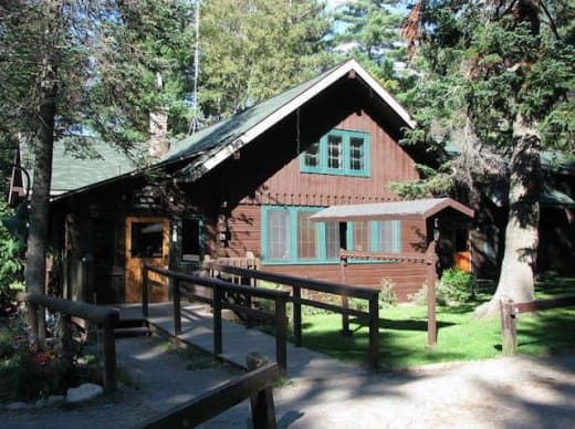
Alternatively, you can stay at the Adirondack Loj. This is located at Heart Lake and offers a range of accommodation options including campsites, private rooms, and bunk beds. All accommodation options must be reserved in advance and include meals.